UN
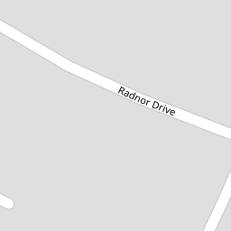
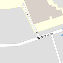
5 Radnor Drive
£ 77,000
Description
We don't have a Description for this property.
- Bedrooms
- 3
- Bathrooms
- 0


Leaflet © OpenStreetMap contributors
The heatmap indicates the level of crime in the area. The color of the heatmap indicates the crime severity and recency.
Metrics Year-on-Year
- Average area value
- 213,571.00 £Decreased by 10.43 %
- Average area rental value
- 998.00 £/moIncreased by 48.07 %
- Est rental Yield
- 5.61 %Increased by 65.49 %
- Crime Rate
- 4.00 %Unchanged by 0.00 %
from 238,437.00 £
from 674.00 £/mo
from 3.39 %
from 4.00 %
Nearby Schools
| Name | Type | Ofsted | Distance |
|---|---|---|---|
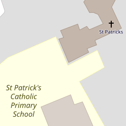
| St Patrick'S Catholic Primary School | Voluntary Aided School | Outstanding | 0.24 KM |
| Churchtown Primary School | Academy Converter | 0.89 KM | |
| Stanley High School | Academy Sponsor Led | Good | 0.89 KM |
| Crossens Nursery School | Local Authority Nursery School | Outstanding | 0.90 KM |
| Larkfield Primary School | Community School | Good | 0.93 KM |
Images
Nearby Streets
| Name | Average Price | Average Sqft | Distance |
|---|---|---|---|
| Churchgate Mews | £ 0 | 0 | 0.00 KM |
| Beresford Drive | £ 295,000 | 0 | 0.00 KM |
| Montrose Drive | £ 276,590 | 0 | 0.00 KM |
| Manx Janes Lane | £ 0 | 0 | 0.00 KM |
| Carisbrooke Drive | £ 0 | 0 | 0.00 KM |
Nearby Transport
| Name | NLC | TLC | Distance |
|---|---|---|---|
| Meols Cop | 2357 | MEC | 1.96 KM |
| Southport | 2262 | SOP | 4.00 KM |
| Birkdale | 2352 | BDL | 5.85 KM |
| Hillside | 2231 | HIL | 7.54 KM |
| Bescar Lane | 2351 | BES | 7.54 KM |
Nearby Listings
| Address | Price | Type | Score | Distance |
|---|---|---|---|---|
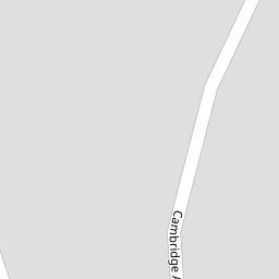
| Cambridge Avenue, Southport, PR9 | £ 380,000 | BUY | Unknown | 0.06 KM |
| Bakers Lane, Churchtown, Southport | £ 310,000 | BUY | 6 / 10 | 0.15 KM |
| Emmanuel Road, Churchtown, Southport, PR9 | £ 400,000 | BUY | 6 / 10 | 0.26 KM |
| Cambridge Road, Southport, Merseyside, PR9 | £ 120,000 | BUY | 7 / 10 | 0.29 KM |
| Cambridge Road, Churchtown, Southport | £ 59,950 | BUY | 7 / 10 | 0.29 KM |
Nearby Properties
| Address | Price | Distance |
|---|---|---|
| 11 Radnor Drive | £ 232,000 | 0.00 KM |
| 53 Radnor Drive | £ 250,000 | 0.00 KM |
| 24 Radnor Drive | £ 115,000 | 0.00 KM |
| 38 Radnor Drive | £ 365,000 | 0.00 KM |
| 50 Radnor Drive | £ 67,000 | 0.00 KM |